Dinosaur Prints

Description
Jurassic Period
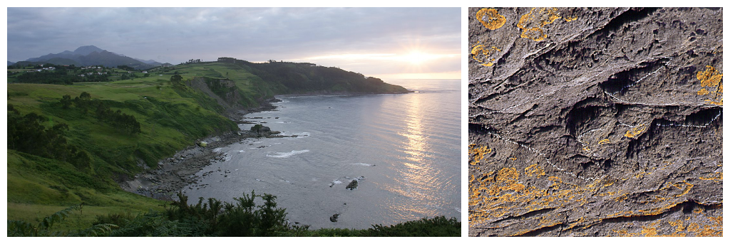
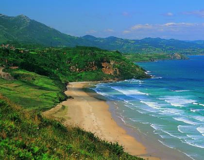
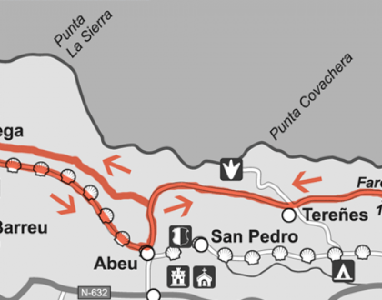
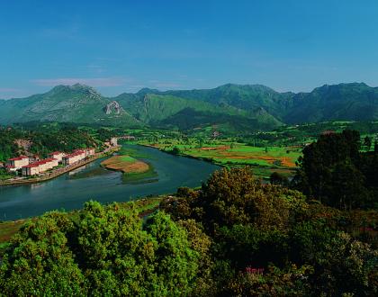
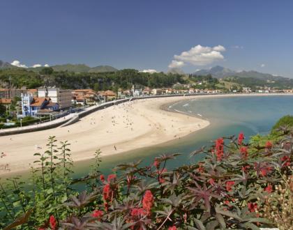
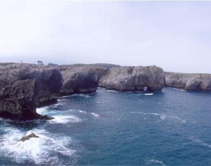
The coastline of Ribadesella, Villaviciosa and Colunga is known as the Dinosaur Coast, as all three municipalities share Jurassic paleontological treasure. Ribadesella´s Cliffs are some of the most important remains of the Spanish Jurassic Period, anyway there are some other areas as Tereñes which has pioneered guided visits to the cliffs .
Public awareness of these dinosaur footprints is due to the discovery in the 70. of abundant remains from the Jurassic geologist José Carlos García -Ramos, now causing scientific and popular admiration. The result of their work – together with his partners - has been the ratification of this area as one of the main European deposits due to quality, quantity and variety. There were many sizes and many kinds of dinosaurs ( theropods, bipedal, carnivorous, Sauropods, herbivores, ornithopods, bipedal or quadrupedal herbivores) , and almost all of them have left their mark on these pedrale.This is a real Asturian "Jurassic Park"also declared as Natural Monument and candidate to integrate the World Heritage .
The Dinosaur Coastal strip dates from the Jurassic Period. On the other hand there is the soil which belongs to a much older Paleozoic Period. The boundary between the Mesozoic rocks (which owns the Jurassic ) and the Paleozoic can be clearly traced in the failure of the cliffs of pedral Arra. This is the starting point of a route that reaches Villaviciosa. Dinosaurs appeared on Earth in the Mesozoic Period- about two hundred thirty million years ago- and that is why their footprints are preserved only in rocks of this period , not earlier or later . The heyday of the dinosaurs spans the Jurassic, beginning 206 million years ago, and all the Cretaceous to the end point, 65 million years ago. They disappeared from the earth due to the impact of a large meteorite that impacted our planet in the Yucatan Peninsula .
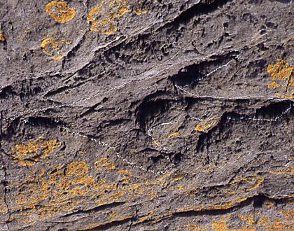
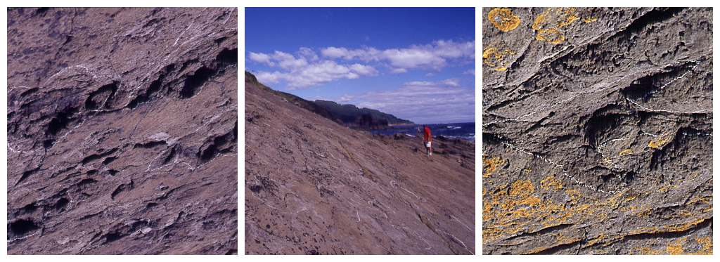
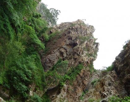
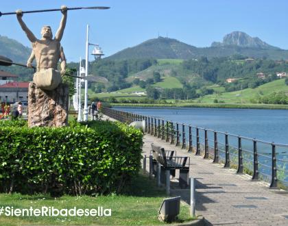
Both sandstone mountains that flank Ribadesella´s bay beach belong to the Jurassic, and both contain dinosaur footprints. The fact that the traces are printed in vertical planes does not mean that dinosaurs go up on the walls, but those areas were once the muddy bottom of a sea that further geological cataclysm placed at the bottom. Here what were originally layers of hardened and overlapping mud, inside which there were the traces of heavy dinosaurs , became vertical layers after a major seismic event of the Tertiary, going disengaging the weathering and leaving the footprints contained in other deeper layers .
The sea flooded the coast during the Late Jurassic, creating salty lagoons and shallow waters and rich organic sediments funds provided by the river deltas. One of these gaps existed in the stone area called Tereñes. Geologists say that according to the footprints and fossils found, there were living not only dinosaurs, but turtles, crocodiles and other reptiles that would move this marshy environment. Tereñes is an open encyclopedia about dinosaurs and life 150 million years ago. Its pages are exposed to view on the cliffs of its pedral , awaiting the eyes of those who know how to watch and discover. It is difficult to recognize the traces because often what is left is a riser, a mark on a deeper stratum, or a counter, or the negative result of filling the hole with sand. Therefore the tour is highly recommended. Guides keep in mind choosing the right time of the tide and also offer ideas about different kinds of dinosaurs, footprints and traces .
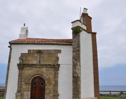
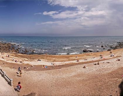
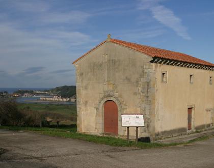
There are magnificent footprints in other parts of the coast, for example the beach of Vega, which has also given its name to a geological scientist called that name. Vegas Beach is characterized by its composition based on siliceous materials dragged by a river at the beginning of the Upper Jurassic period. There are also footprints on the cliffs next to Arra and Corveru´s Mount, under Guía´s Chapel. Actually the most spectacular and easy to see are the ones near Santa Marina Beach, where the watchpoint Pozu is located. Due to the vertical placement of the touristic attraction, marked by footprints and traces of dinosaurs, you should use your imagination in order to get an idea of how was that place, when the walls were down and the mountains were just a swamp in which dinosaurs splashed.
@ Texts: José Antonio Silva Sastre

Contact

